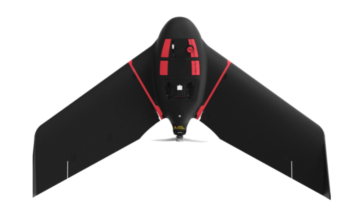
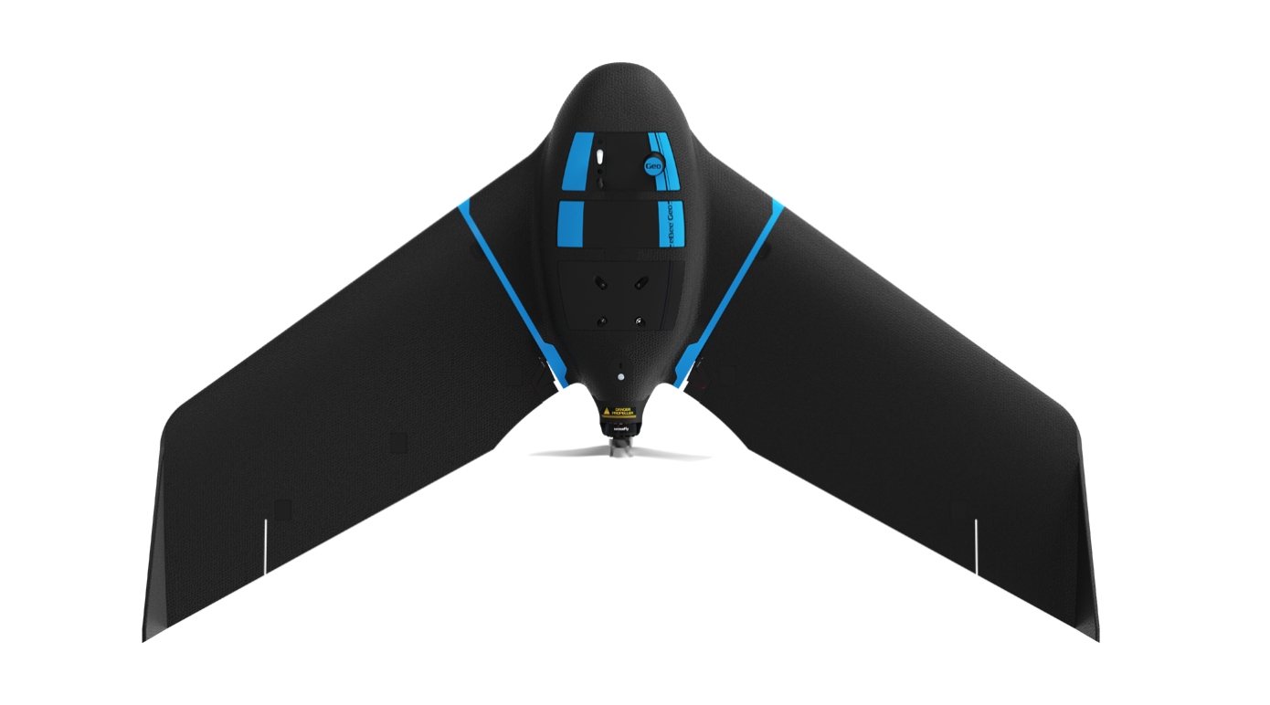
eBeeX
AgEagle · United States · also known as eBee Micro
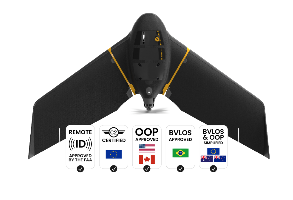
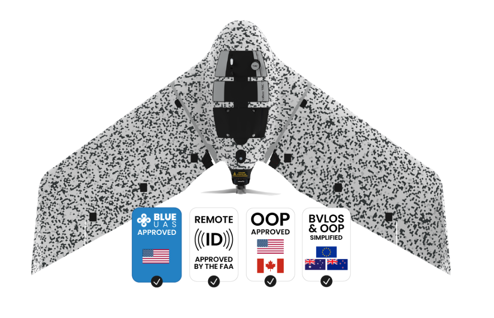
eBee X premium package offers endurance flights of 90 minutes, RTK, PPK, online training, eMotion flight planning software and much more. eBee X enables more operators to conduct OOP, BVLOS and safe operations with the NDAA-compliant and globally certified professional drone.
3D, RGB, multispectral and thermal cameras
eBee X is compatible with a wide range of interchangeable photogrammetry cameras that capture reliable aerial imagery – from 3D models to orthomosaics – to suit every mapping job.1.5 cm / 0.6 in absolute accuracy
With the on-demand RTK / PPK capabilities of survey drone eBee X, you can gather data without ground control points (GCPs) while maintaining a GSD down to 1.5 cm / 0.6 in.1.6 kg / 3.6 lbs takeoff weight
Operate safely within more regulatory frameworks thanks to the eBee X’s light weight, which extends your operational possibilities – BVLOS and flights over people – and range. eBee X has the best ratio energy / MTOW compared to heavier VTOLs.90 minutes flight time
Efficiently map up to 500 ha / 1,235 ac while flying at 120 m / 400 ft eBee X flight time of up to 90 min* makes it the perfect drone for covering large areas. *With endurance battery and S.O.D.A. camera.RTK / PPK available
RTK and PPK allow you to ensure more reliability with the accuracy obtained, without ground control points. The eBee X is compatible with the industry’s leading base stations.