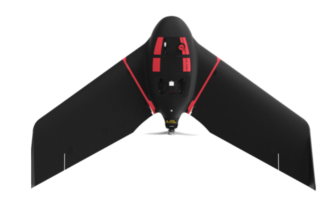
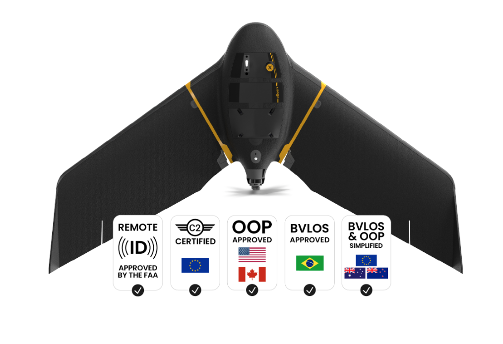
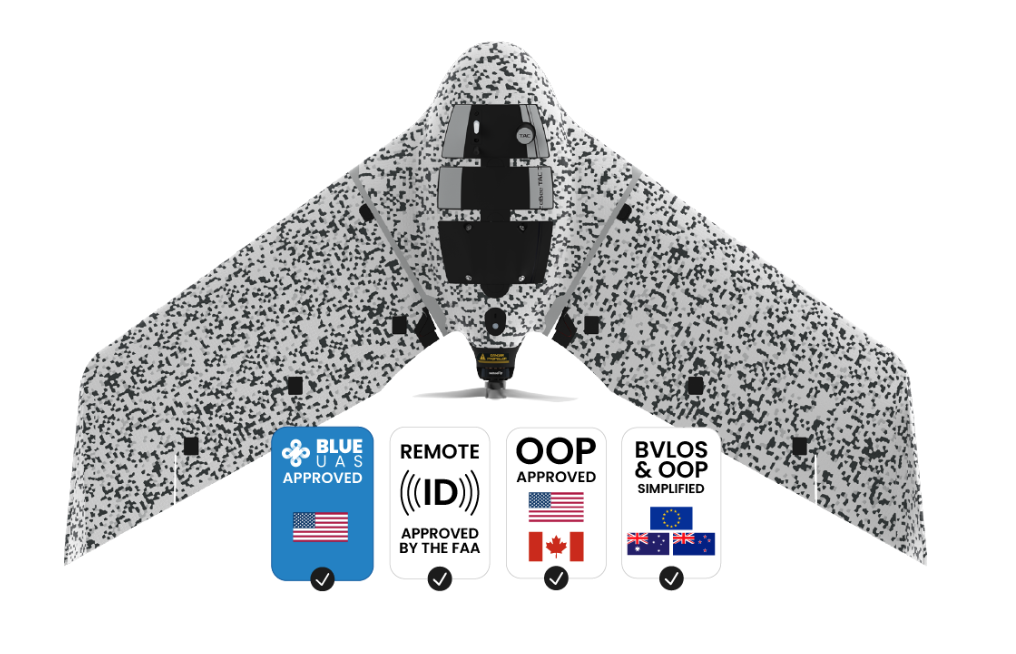
eBEE Geo
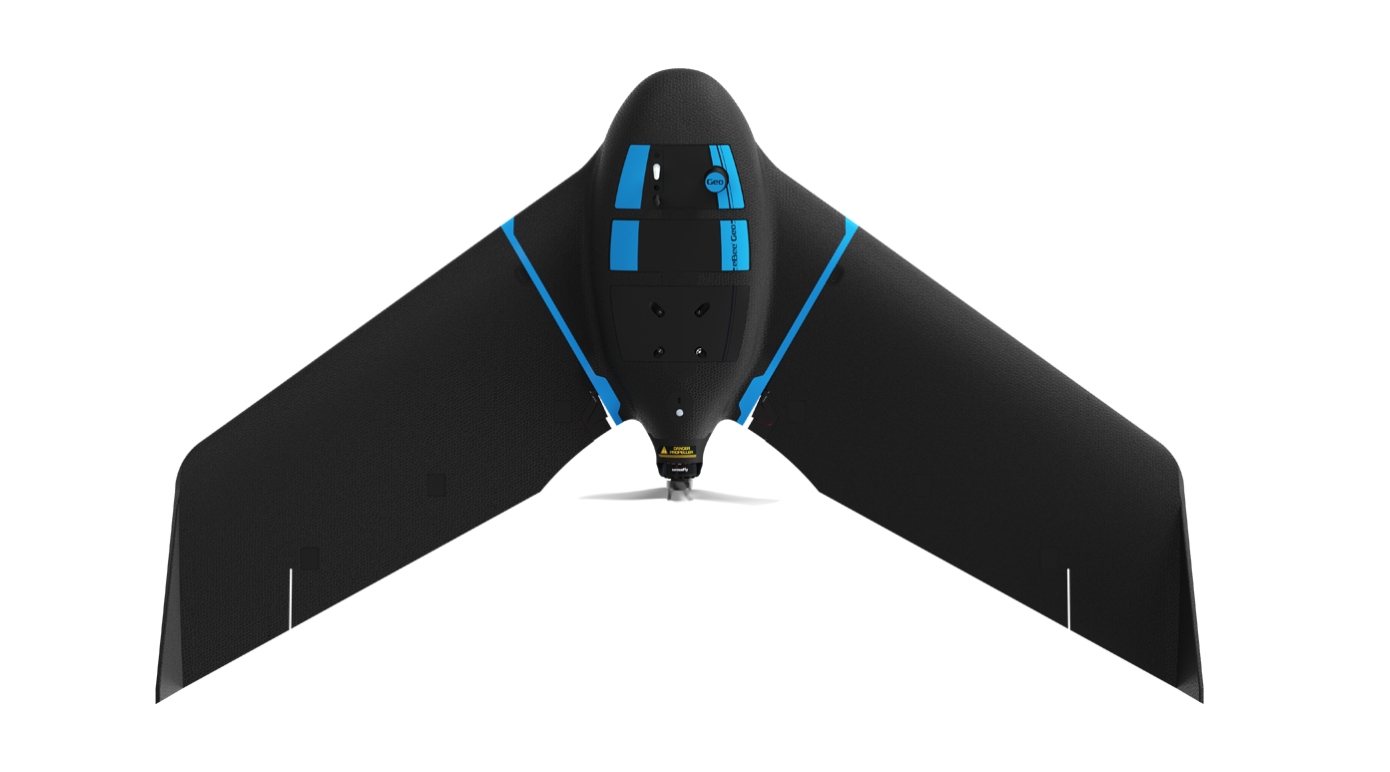
eBEE Geo from USA, produced by AgEagle
Introduce:
The eBee Geo is an affordable fixed-wing mapping drone designed to meet the highest demands of surveyors, civil engineers and GIS professionals worldwide. Rugged and intuitive to operate, eBee Geo makes surveying and mapping small to large areas faster, more efficient and with less risk than using terrestrial surveying equipment alone.
Up to 45 minutes flight time*
Capture more data - efficiently cover up to 160 ha (395 A) while flying at 120m (400ft).